Training
Drone Technology and Forensics Workshop
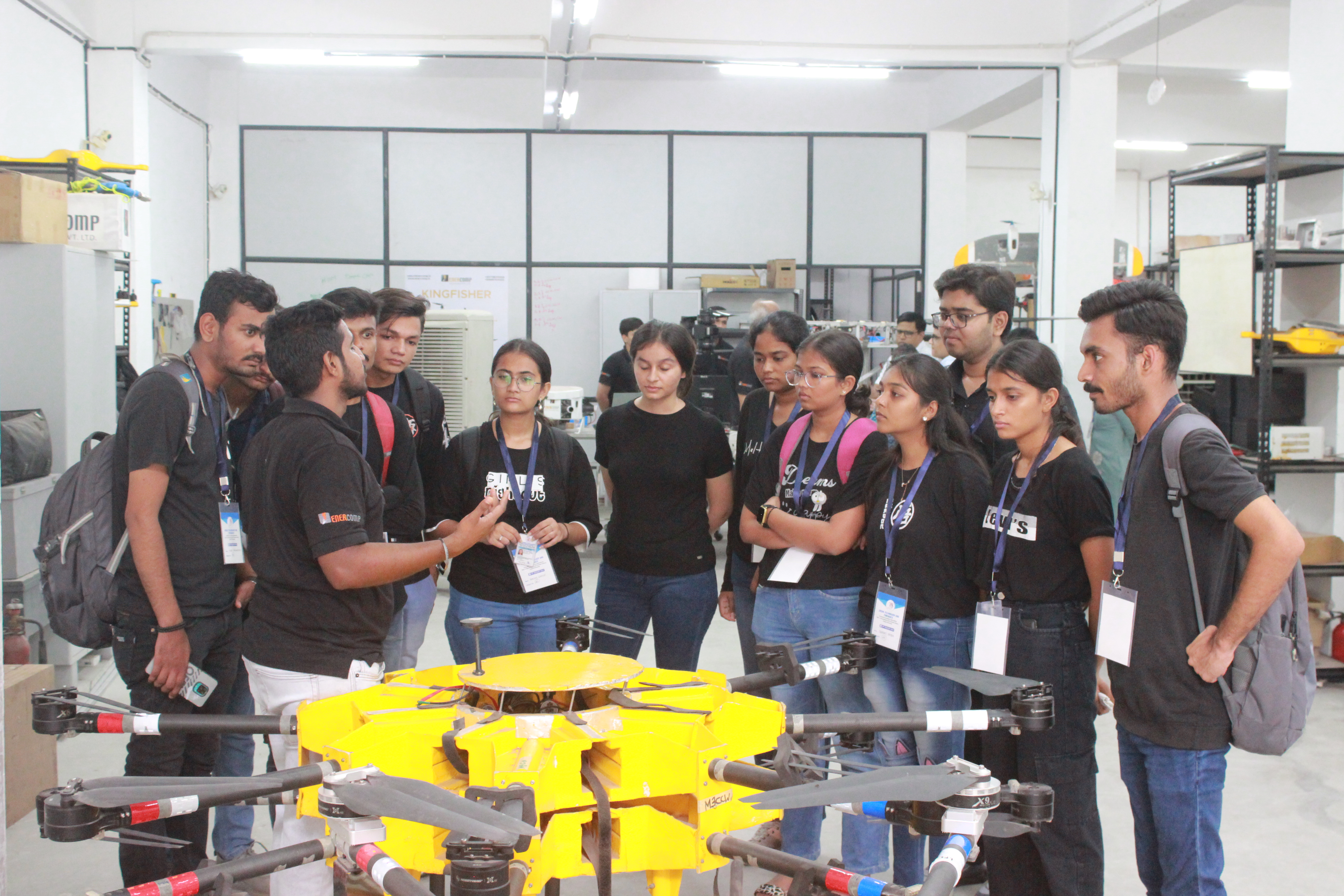
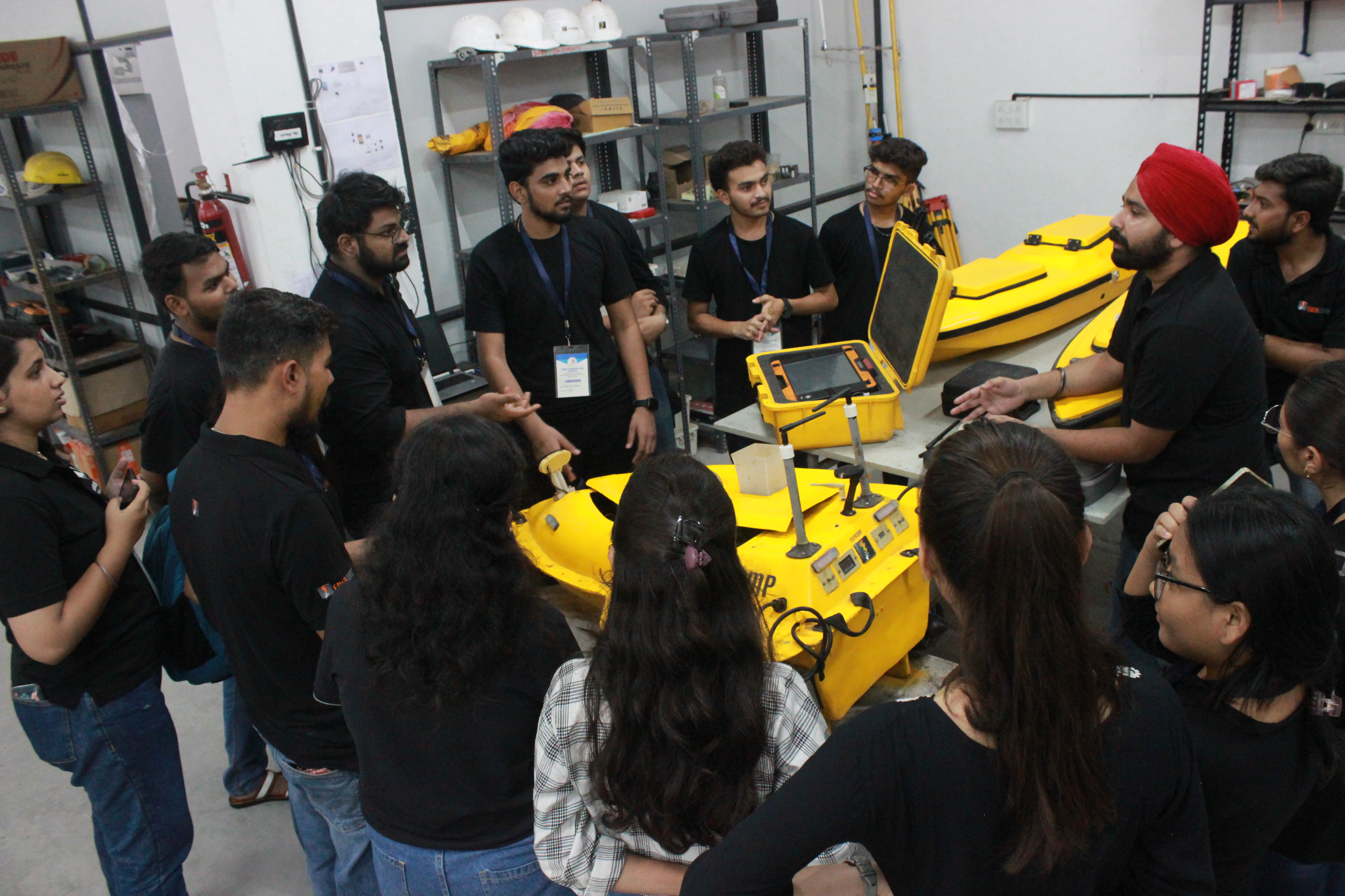
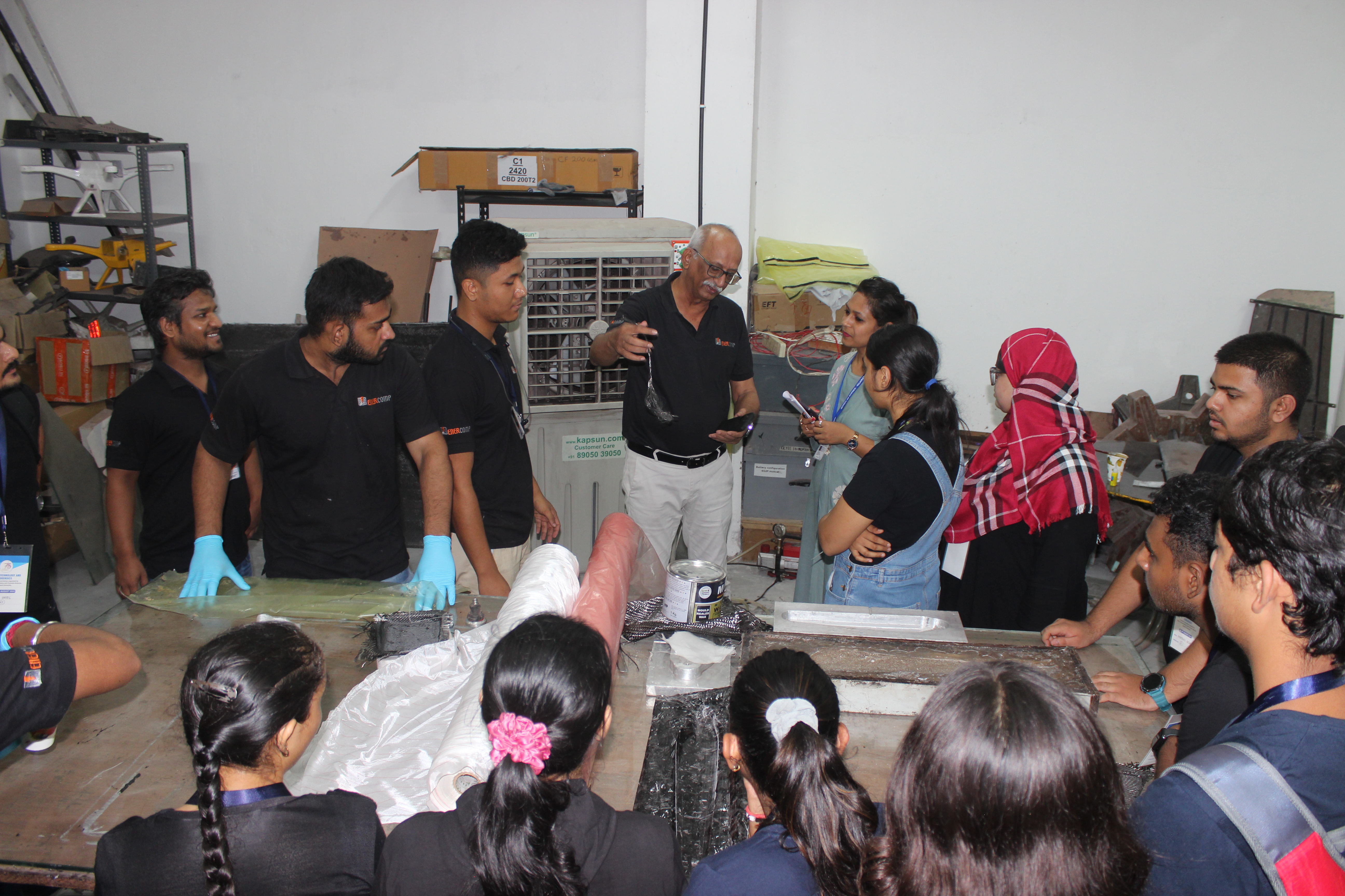
A hands-on workshop on Drone Technology and Forensics was recently conducted, organized by the Department of Biochemistry and Forensic Science at Gujarat University. The event attracted 90 enthusiastic students, eager to explore the world of drones and their forensic applications. Over two days, participants gained a foundational understanding of drone technology, including the current regulatory framework and the latest technological advancements. Practical experience in drone operation was provided, with a focus on forensic analysis tools. Students learned how to analyze drone crashes, retrieve data in various ways, and prepare documentation for crime or accident scenes.
Data Processing for Aerial Mapping Land Surveying Using Drone
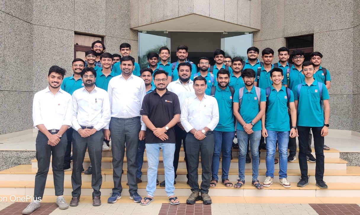
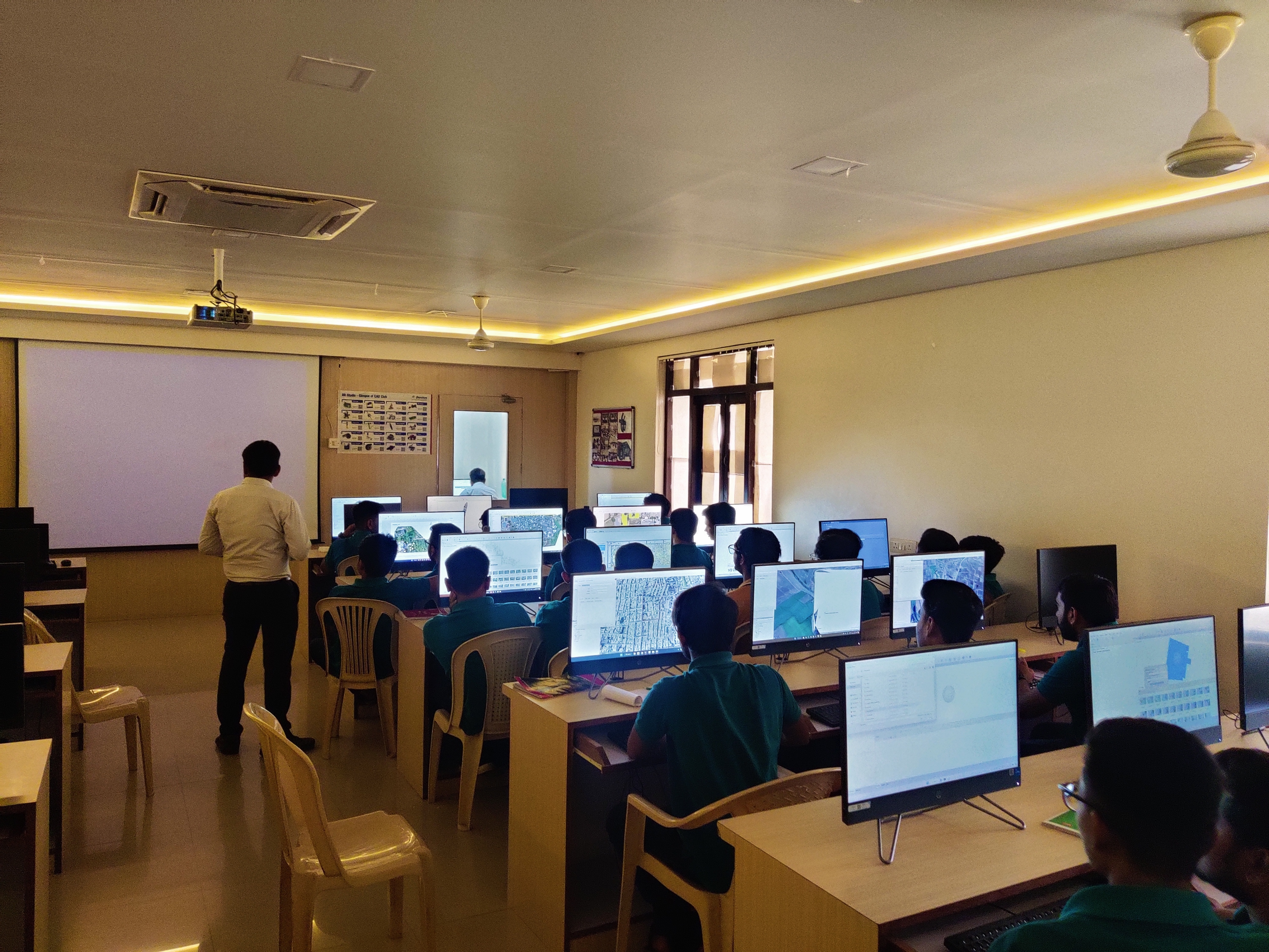
A 10-day drone-based data processing course for aerial mapping was successfully completed at Darshan University, Rajkot, Gujarat. The program trained 25 students in essential concepts such as Ground Sampling Distance (GSD), the impact of overlapping on data, and the significance of relief displacement. The effect of changing flying height on data accuracy was also covered. Students gained hands-on experience with various drone data processing software and critical processing techniques. The course included demonstrations on generating DSM, DTM, and point clouds, with a focus on the importance of Ground Control Points (GCPs) for accuracy. Processed data was used to perform geospatial analysis and prepare GIS-based datasets, including land records.
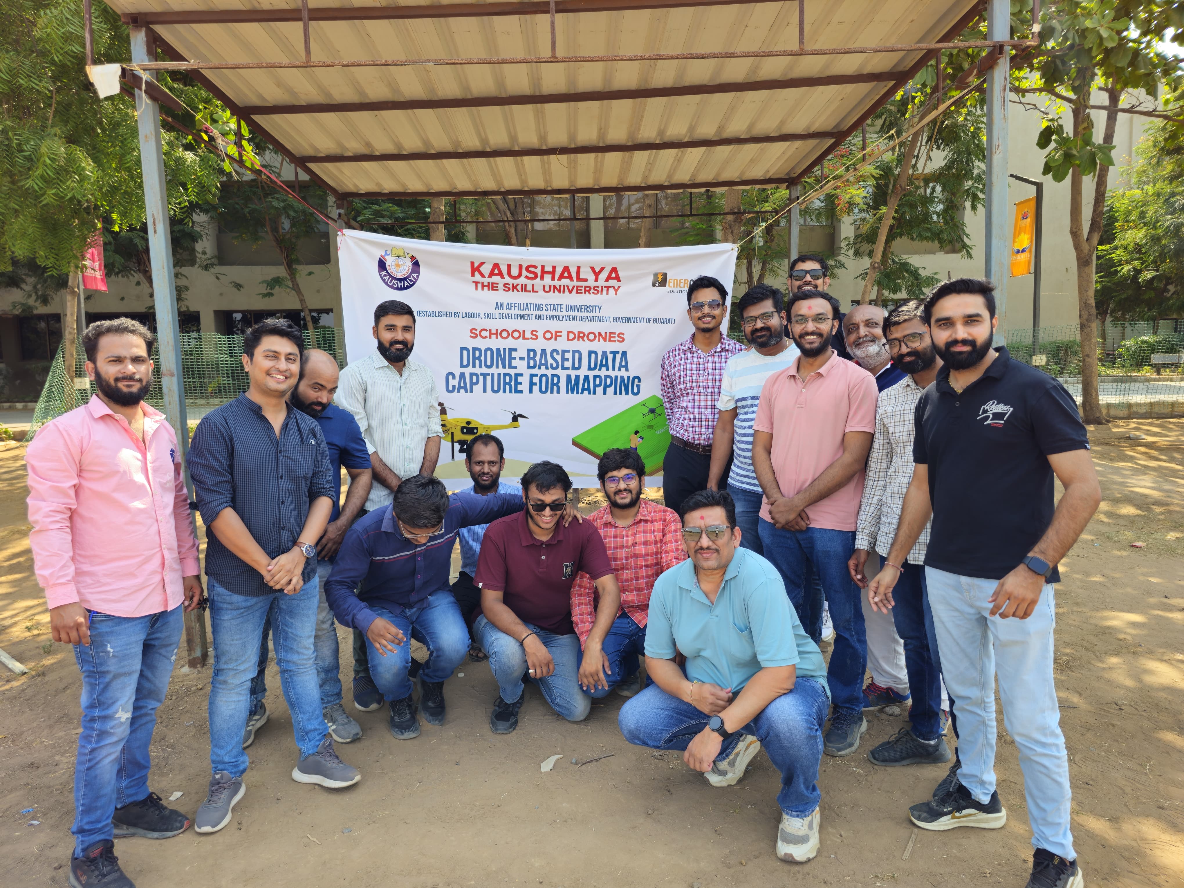
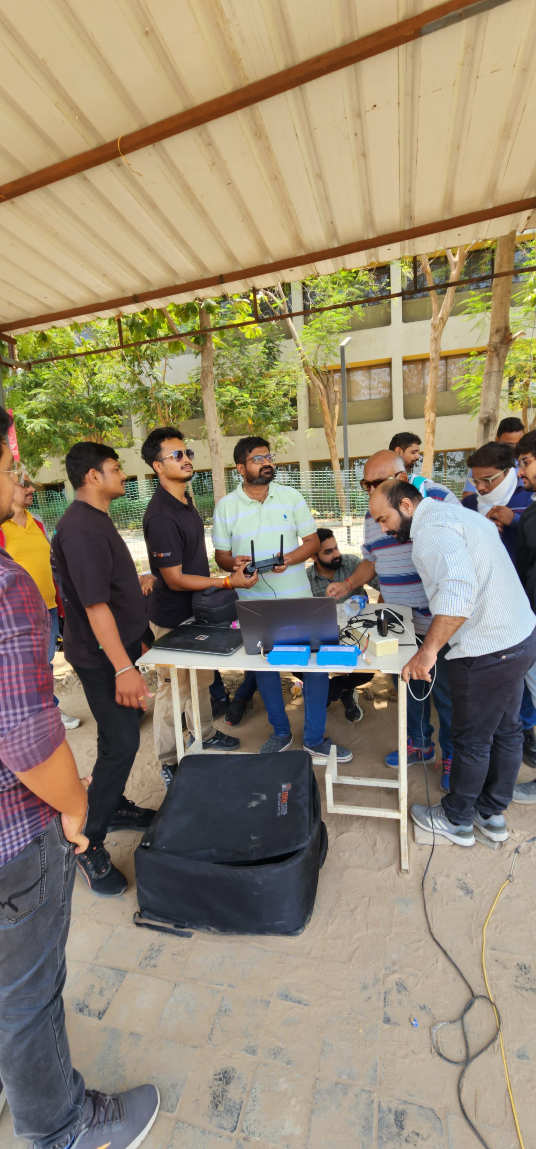
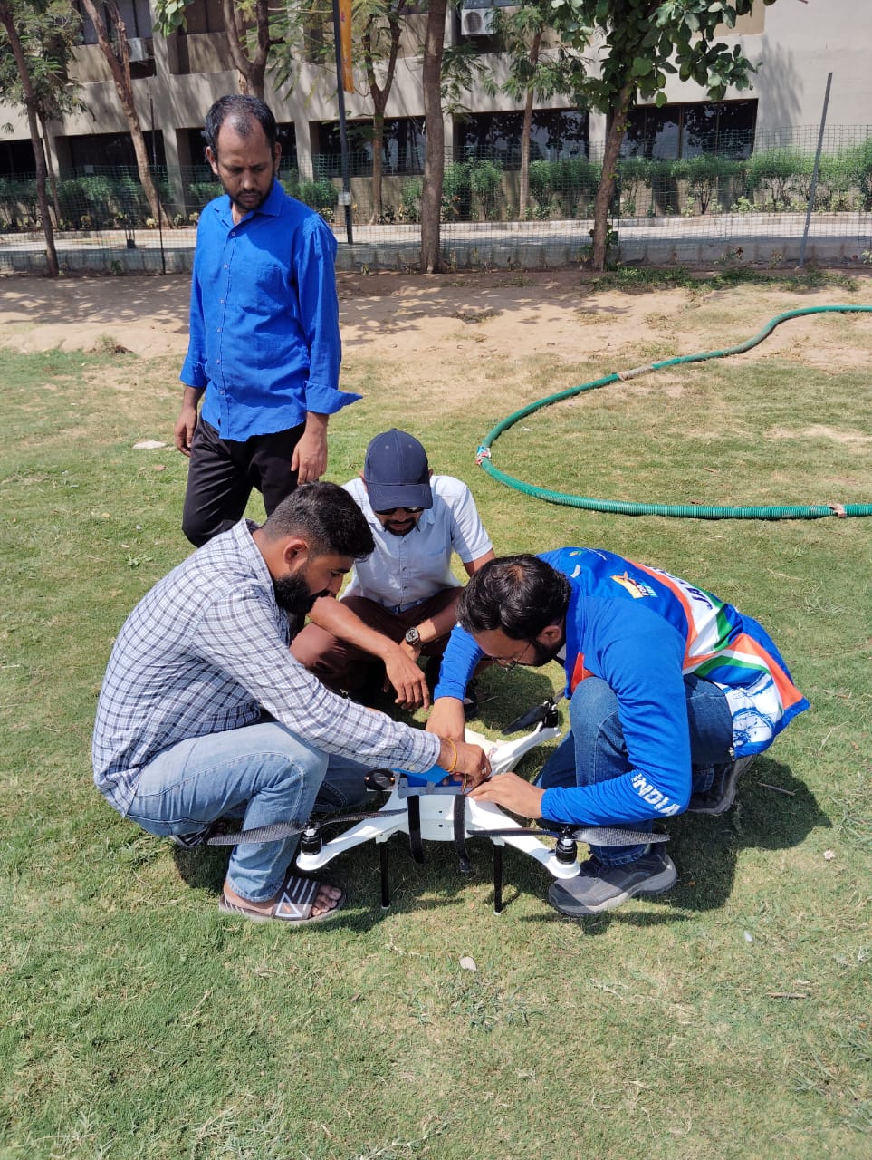
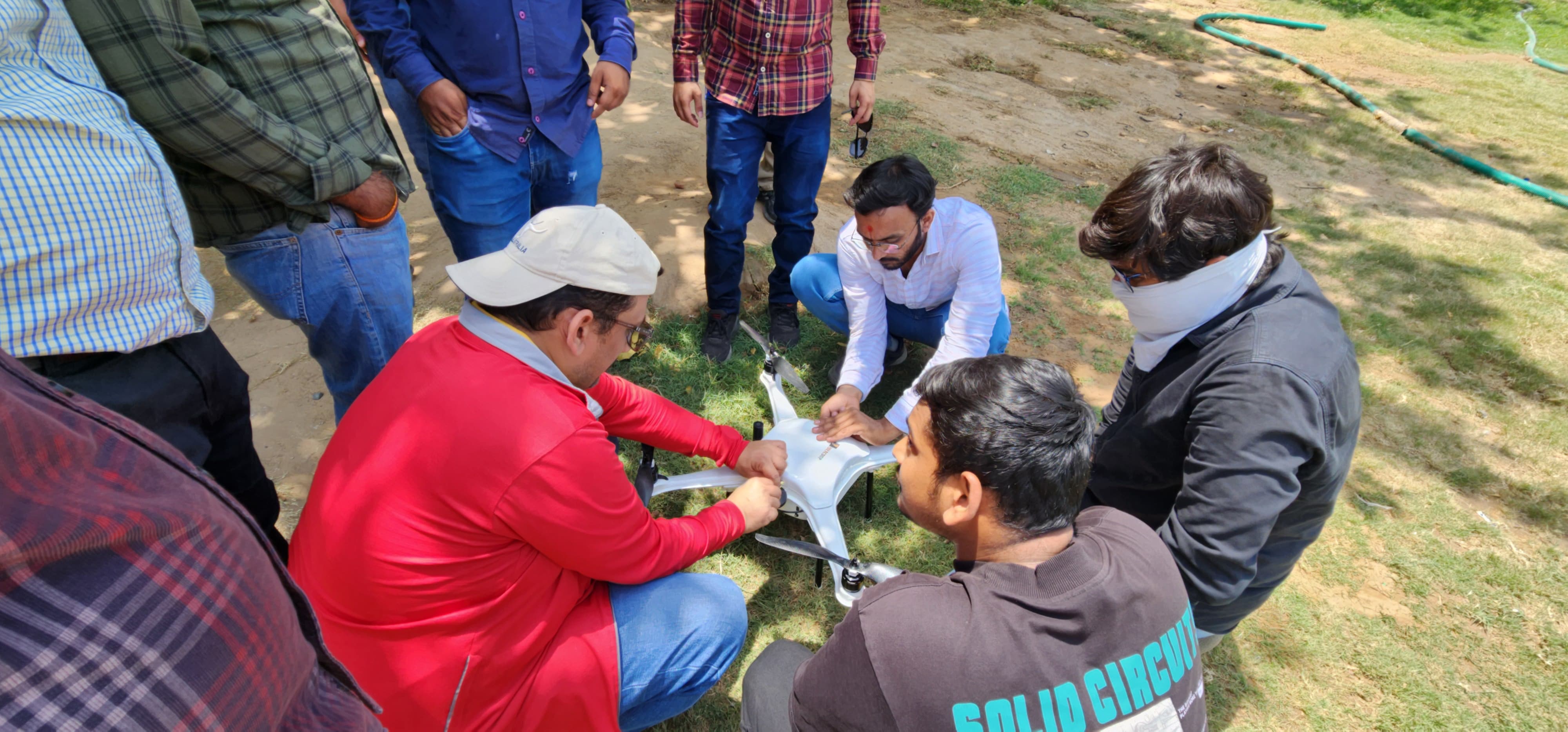
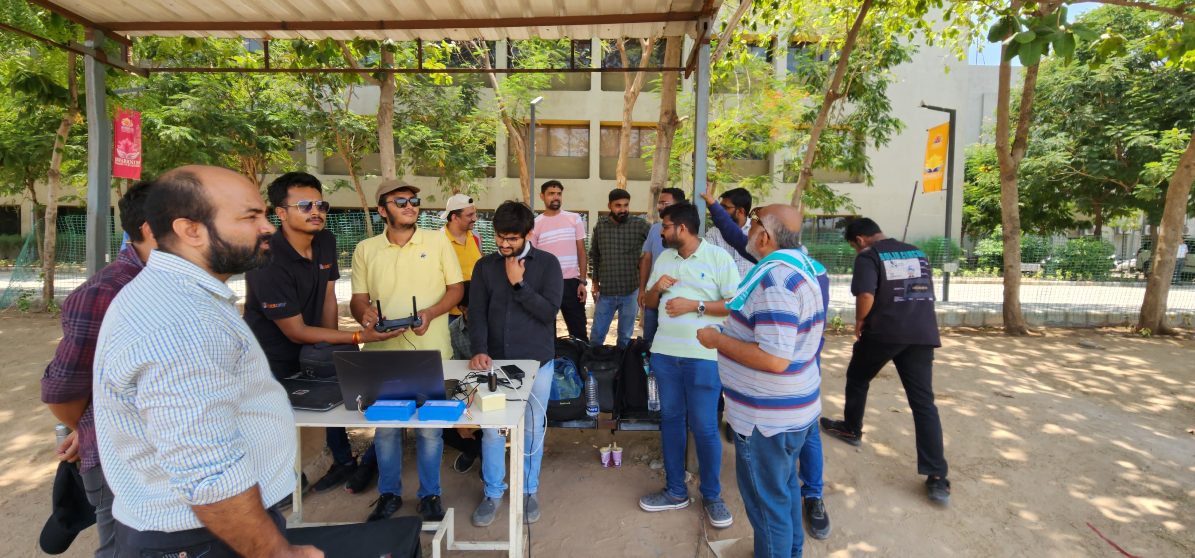
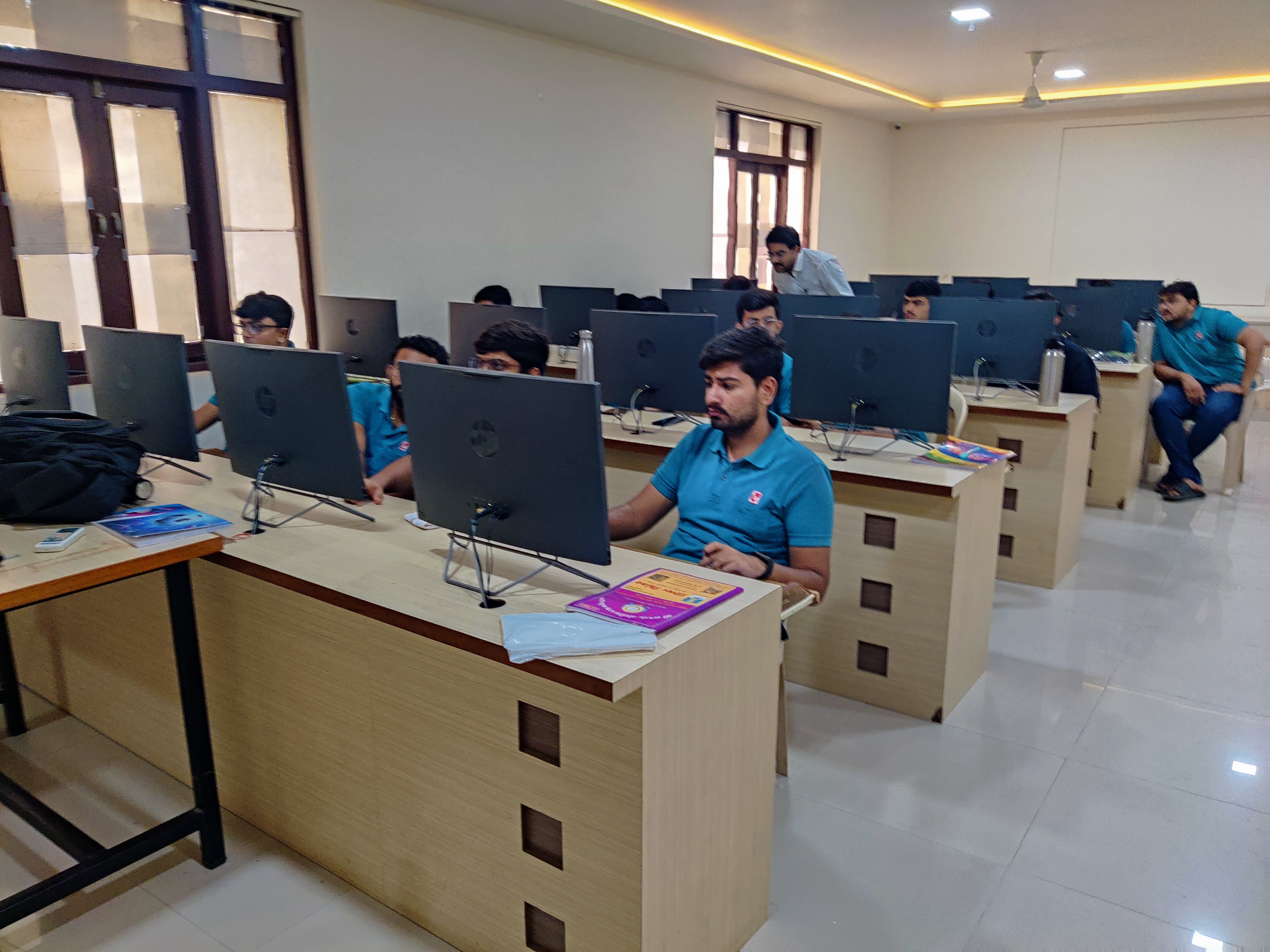
Data Capturing Using Drone
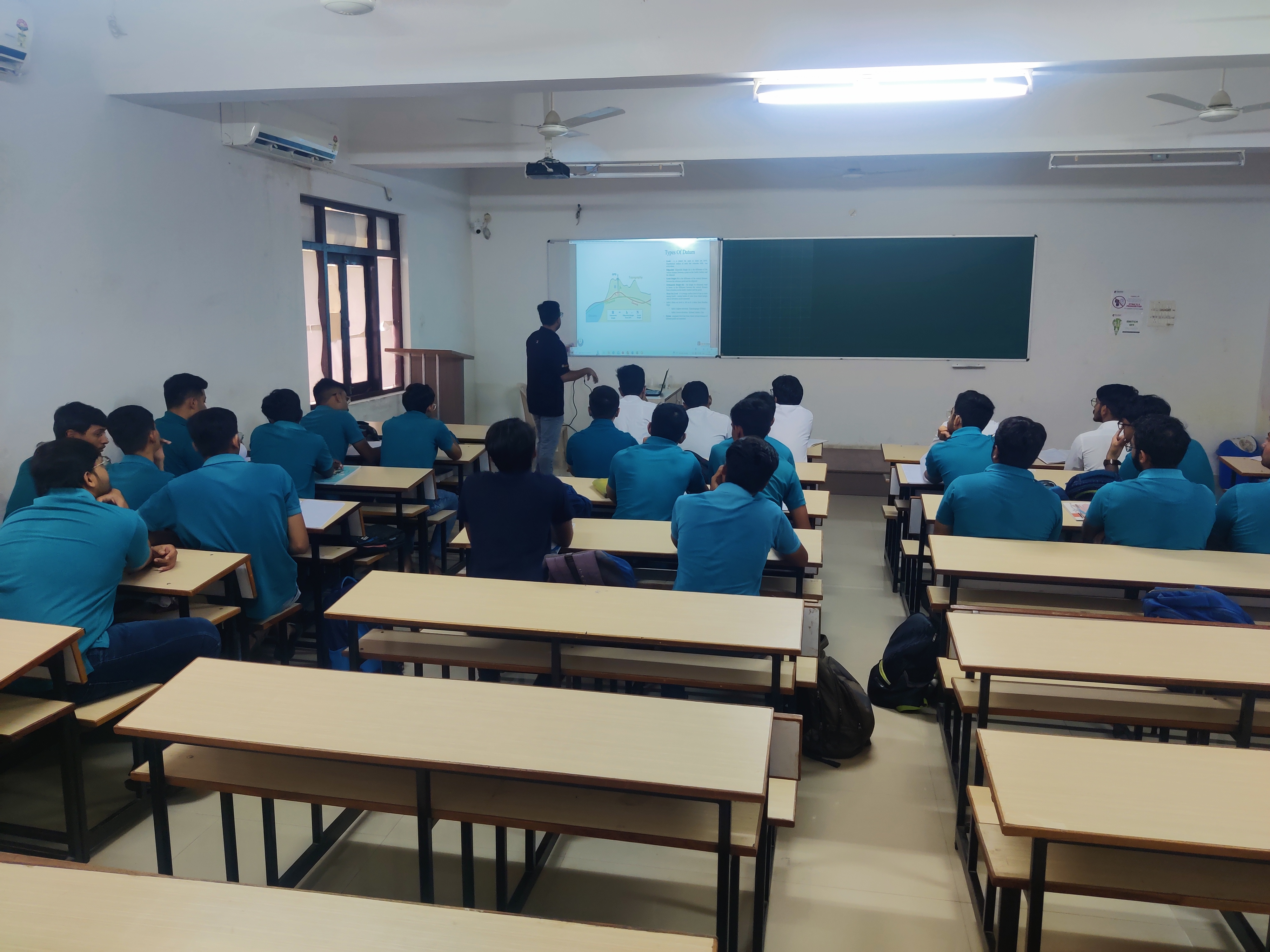
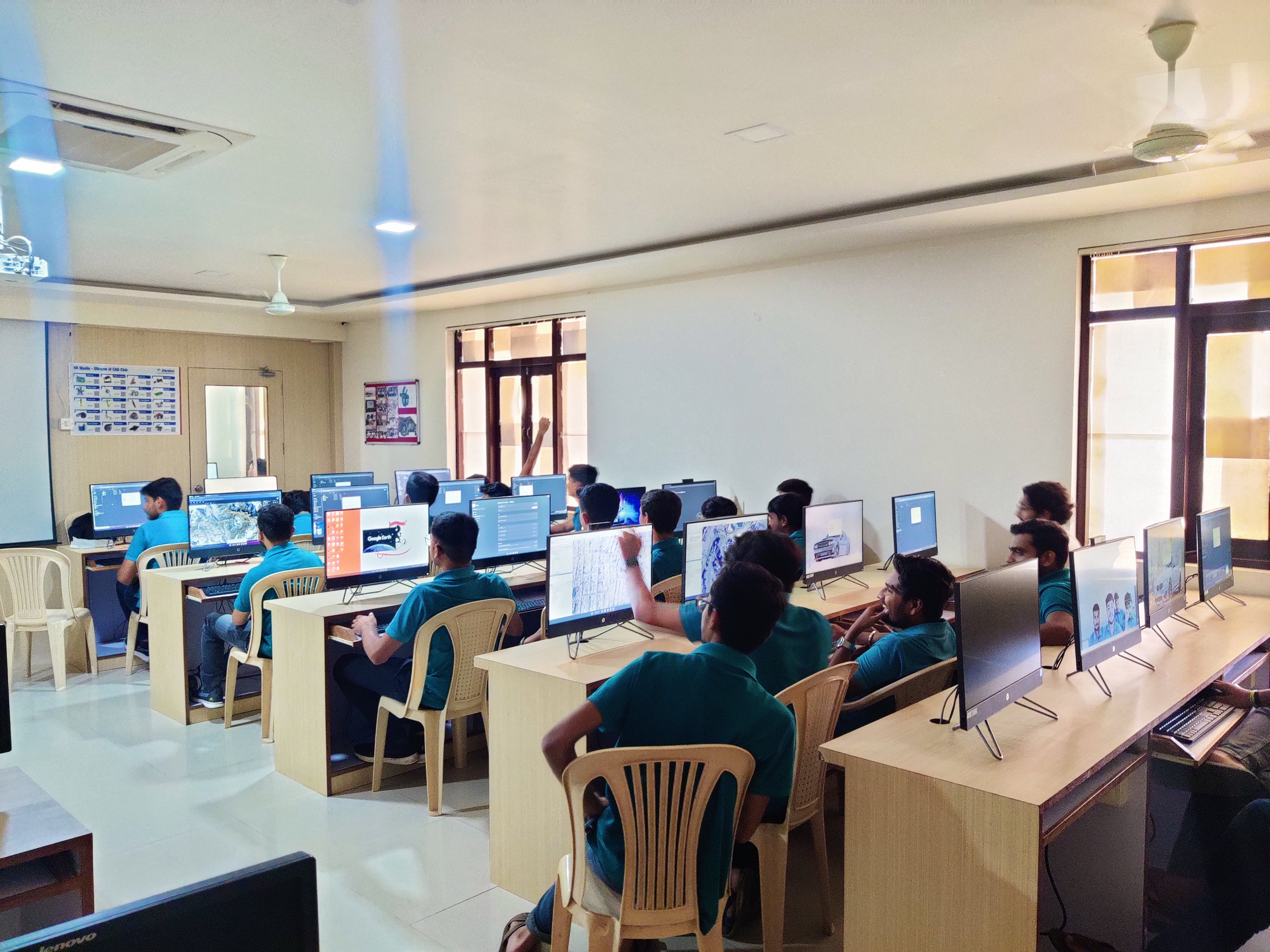
A drone-based data capturing course took place at Swarrnim Startup & Innovation University, Adalaj Kalol, Gujarat. Many students participated in this course, learning about different types of drones and sensors, and how to select the right drone for specific tasks. The course covered topics such as flying height, GSD, sensor integration, and the importance of overlapping for accurate data capture. Students also received hands-on experience in flying drones, setting up Mission Planner with specific settings, and understanding the role of GNSS in achieving high accuracy in data collection.