Dense Tree Cover
Forest mapping is challenging for various reasons, one being dense tree cover & poor ground visibility. Even using a multispectral sensor imaging the ground is difficult. & mapping trees is a very tedious job.
While working on forest mapping analysis can be performed in two major analytics, quantitative & qualitative. As the name suggests quantitative analysis is for the tree count, basically deriving the quantities in the forest. Whereas qualitative analysis us the derivation of the health of the forest using image processing algorithms.
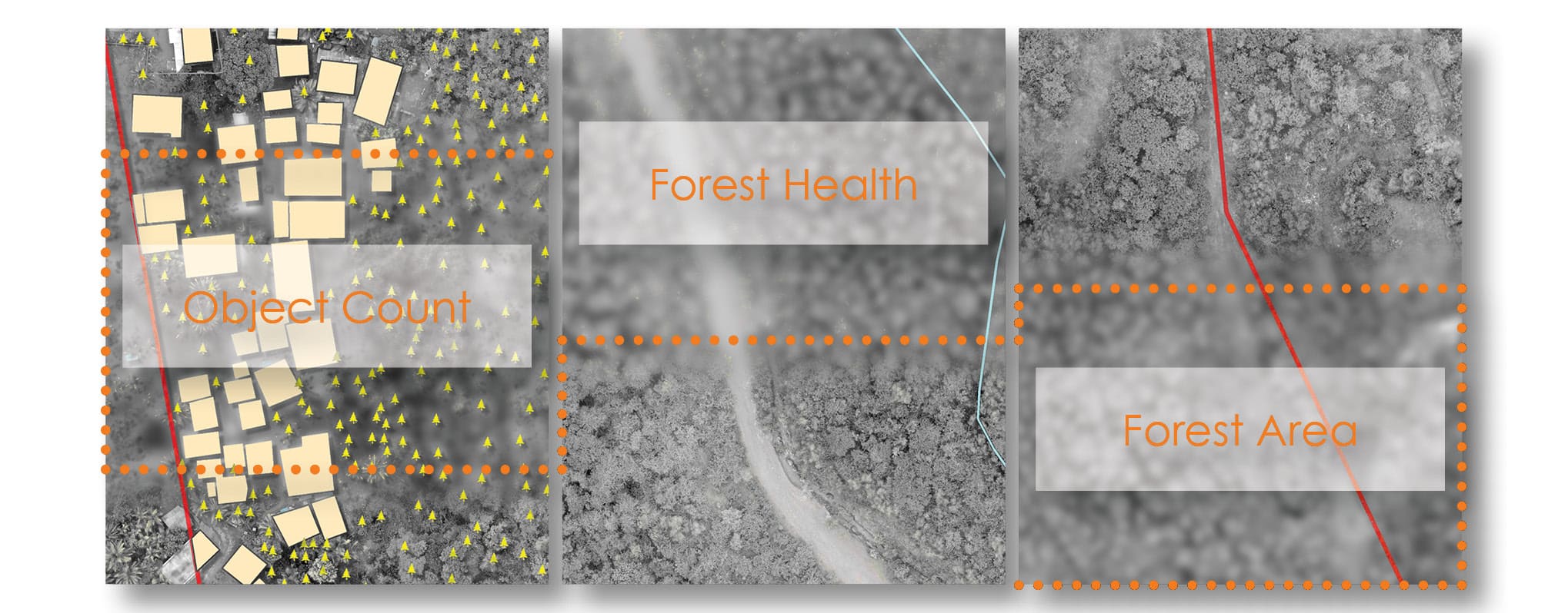
Quantitative Analysis
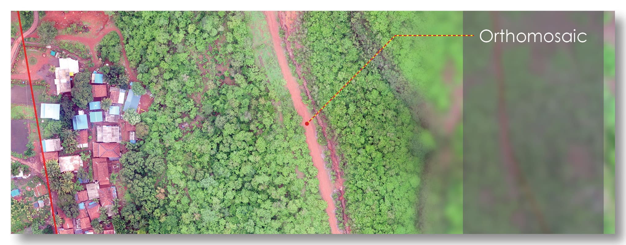
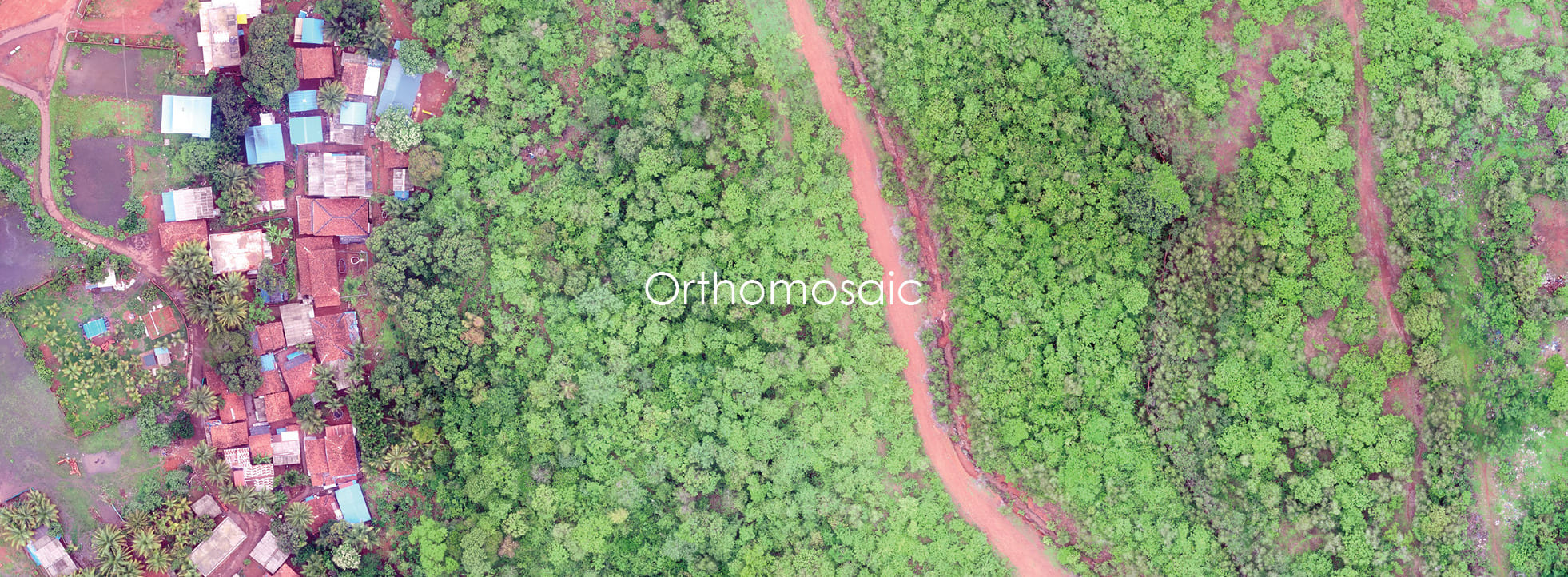
Using image processing algorithms Orthomosaic is derived by stitching the raw drone-captured images. This orthomosaic has a Ground Sampling Distance (GSD) of 2-4cm. This orthomosaic is used then used as a base for object identification i.e. trees. Then identified trees are checked manually for error corrections if any. The final data is generated in vector format, later can be exported into any desired CAD or GIS formats.
Qualitative Analysis
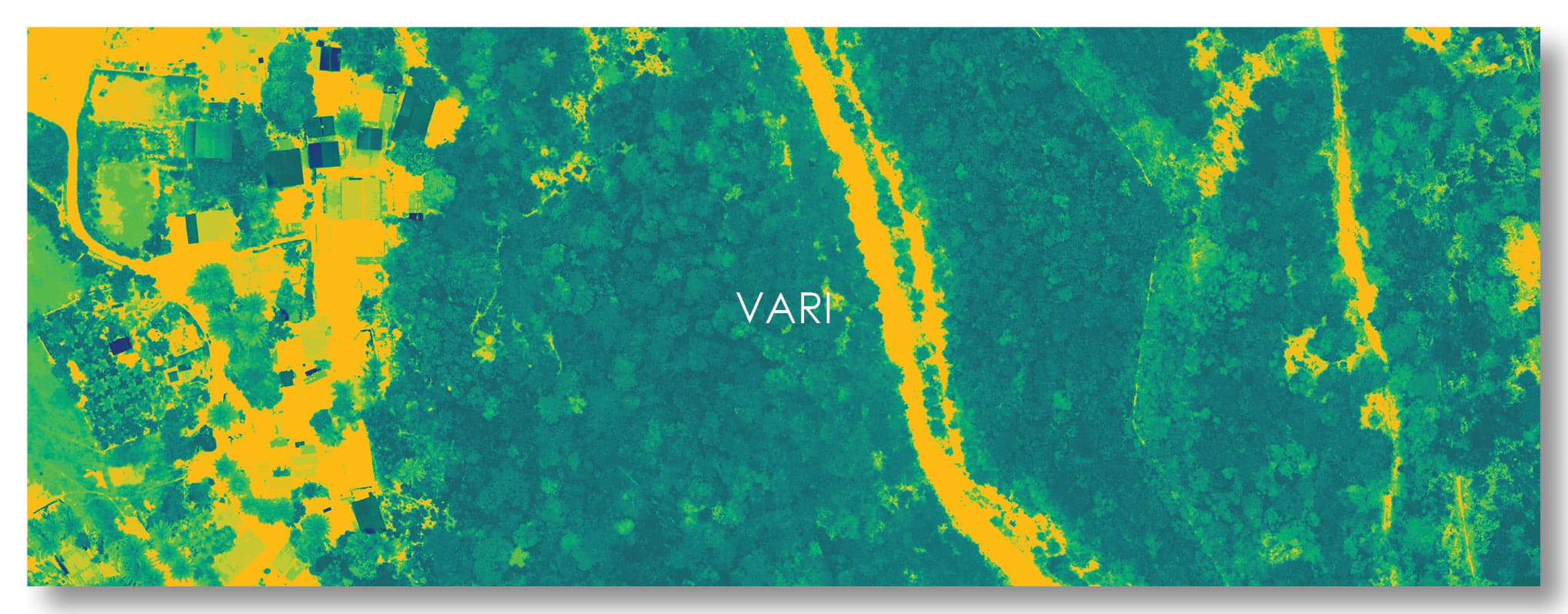
With the help of optical camera sensors (RGB bands) or multispectral sensor camera (RGB+NIR bands) forest health analysis can be achieved. Using advanced image processing techniques, the drone captured data is converted into tree health maps. Two indices that are performed to achieve the forest health mapping are NDVI (Normalised Differential Vegetation Index) & VARI (Visible Atmospherically Resistant Index). The difference between the two is the use of spectral bands for analysis i.e. NDVI uses the NIR band but VARI doesn't.
3d Forest
As the drone images are stitched to generate orthomosaic, using photogrammetry Digital Surface Model (DSM) & Digital Terrain Model (DTM) is also generated. This DSM & DTM adds the elevation values to the data that helps in creating the terrain surface & contours despite dense forest cover. Moreover, the data availability allows us to create an actual scenario of the forest area with actual tree heights.
How VARI Works
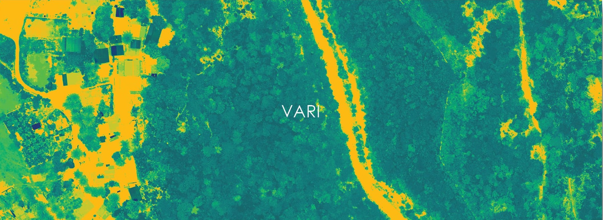
Visible Atmospherically Resistant Index, this algorithm is used to derive the greenness of the forest area. With the Optical camera sensor, the NIR band is missing VARI cannot substitute the NDVI but helpful in measuring the relative greenness of the imagery. In the forest area to determine the health relative greenness works fine in the estimation of forest health.