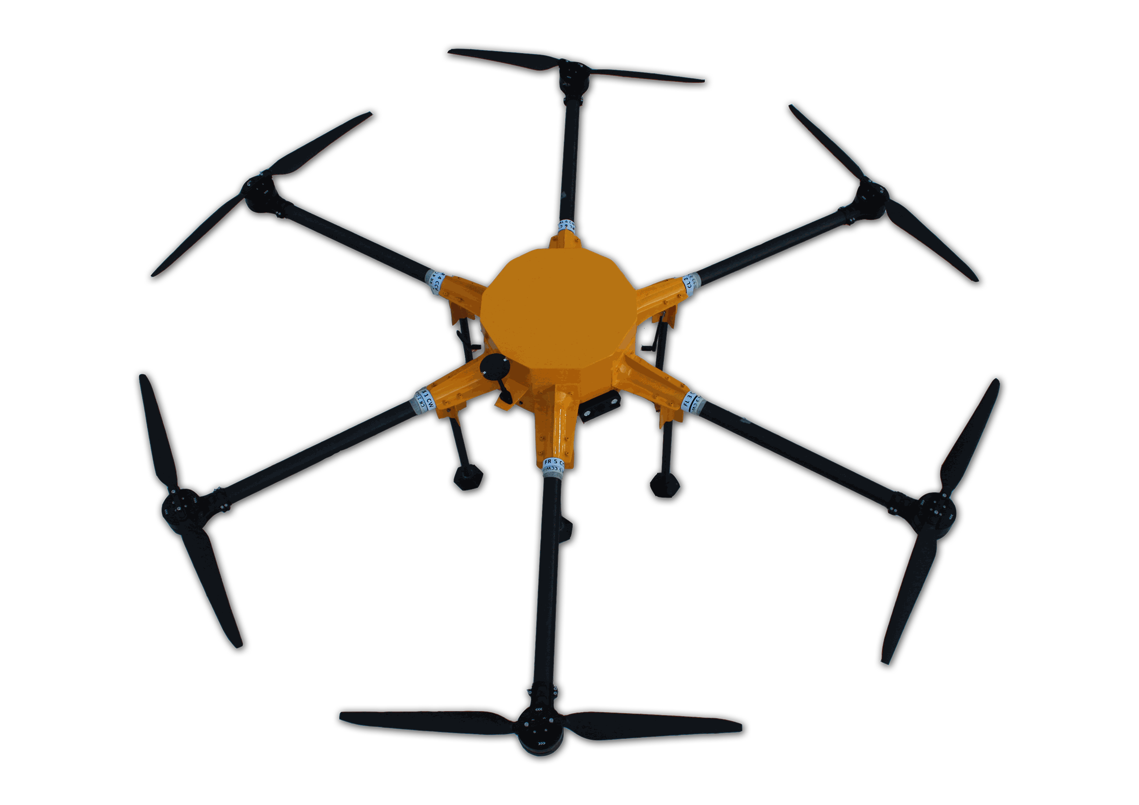
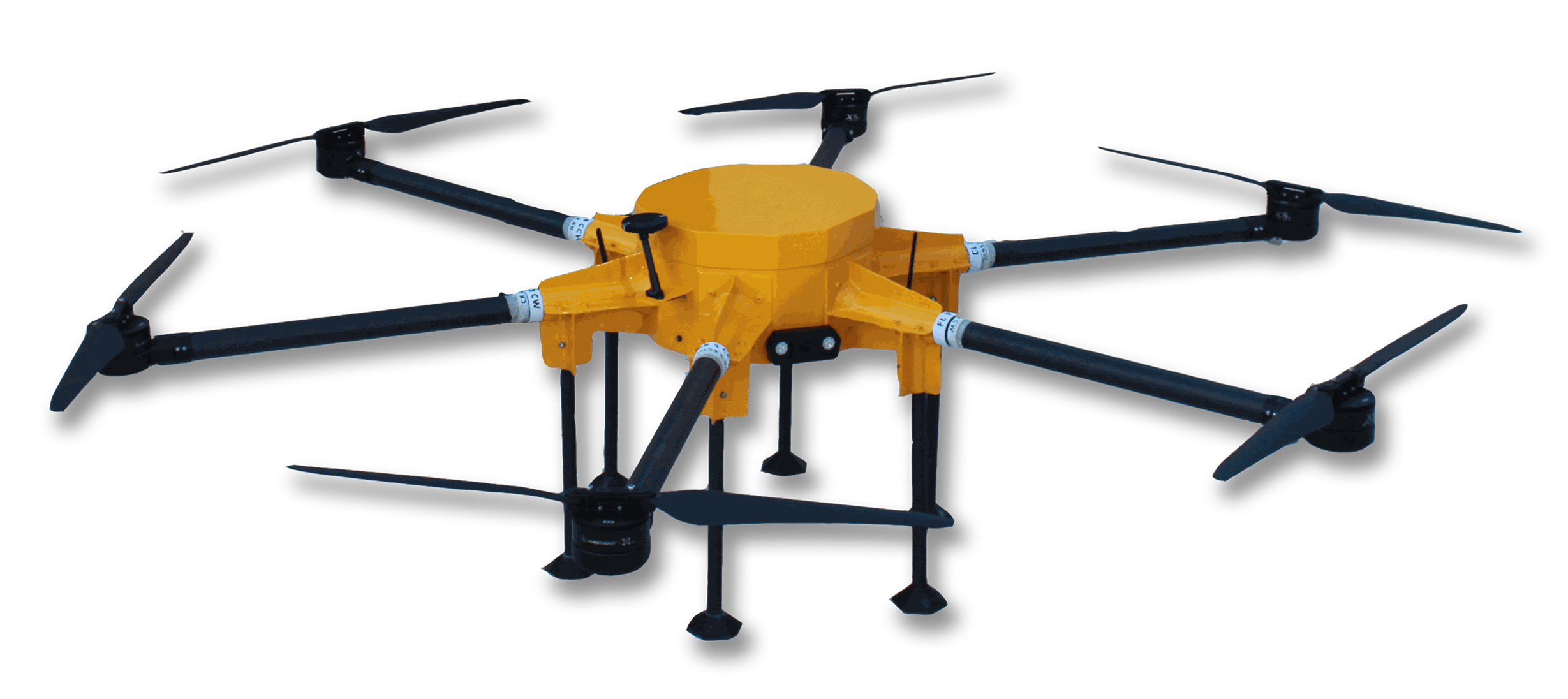
FALCON
HEXACOPTER
The Falcon is engineered for high stability and reliability, featuring six rotors that enhance durability. This advanced drone is optimized for aerial surveys and mapping applications, capable of capturing high-resolution imagery, generating 3D models, and conducting precise geospatial analyses. Its advanced sensors and GPS integration enable real-time data collection and accurate mapping, making it ideal for various tasks, including topographic surveys, agricultural assessments, and infrastructure inspections. The robust design and efficient flight capabilities ensure seamless operation, positioning the Falcon hexacopter as the premier solution for professional surveying and mapping needs.
25 Kg
All-Up Weight
120 meters
Operating Altitude (AGL)
Operating Altitude (AGL)
16 kg
Payload Capacity
Payload Capacity
10 m/sec
Typical Operating Speed
Typical Operating Speed
Approx
30
Minutes
Endurance
Endurance
2000 meter
Operational Range
Operational Range
TECHNICAL SPECIFICATION
Capacity
RPA Type
Body Material
Operating Temperature
Dimensions (L x B x H)
Camera
Frequency Band
Maximum Speed
Communication Range
RTK/PPK (Optional)
Specification
Multi Rotor
Composite Material
-10 °C to +50 °C
L: 2299mm, B: 2534 mm, H: 559 mm
Survey/Surveillance
5.745 to 5.825 GHz
15 m/s
Approx 2000 meter
Enabled